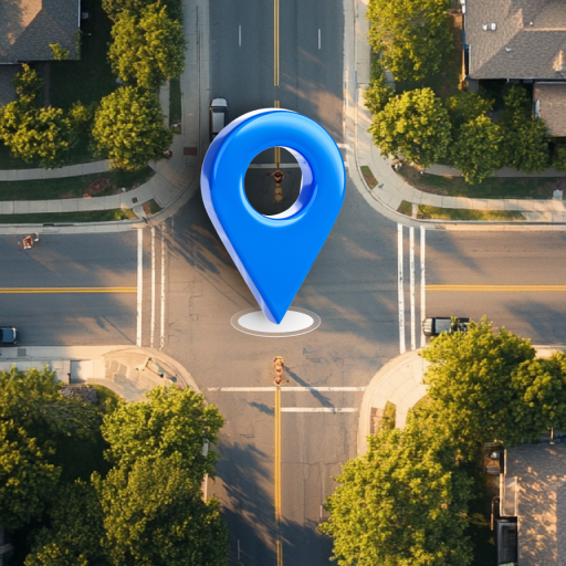
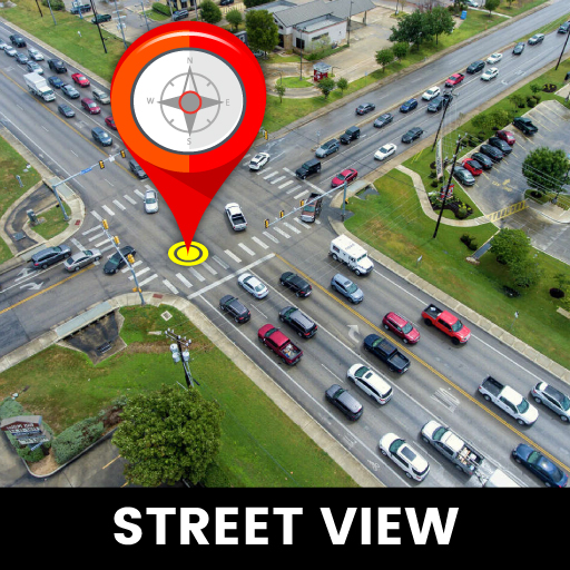
Live Earth Map:Street View Map
GPS Navigation & Live Earth Map is Locator for all places and how to reach them easily with best directions . Live GPS navigation locations - GPS, Directions, Navigation, & Traffic Alerts you can also see 3D Building maps & you find the best traffic free routes and time for travel to the destination on maps. Gps Earth map app shows 3d buildings of the cities around the world. View any place in the world from your location. Find distance between two points with distance finder. This app shows live satellite view in real-time. Live Earth Map 3D & Satellite View application allows users to travel, view and share photos of the most interesting places on the planet. Explore World 360 Perspective, Virtual Tour of Earth Map by Live Satellite View. This app shows real-time earth view from space. However, it is relatively easy to access live images of famous places and seven wonders in the world, as some sites are dedicated to providing live satellite information for these particular sites in the live street view.
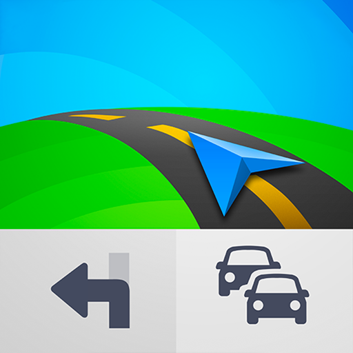
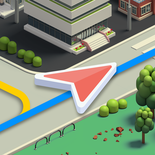
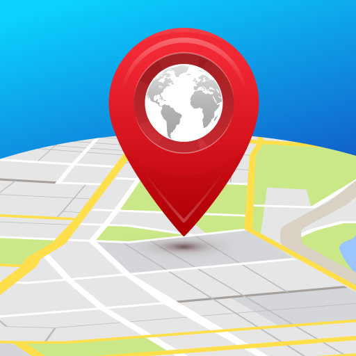
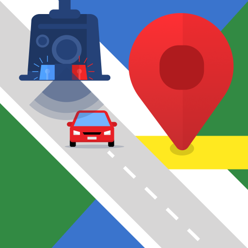
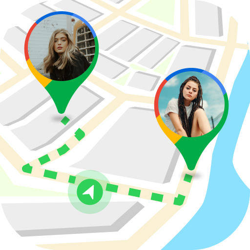
Live Earth 3D Map & Satellite view - GPS Navigation app guide you to your destination with a turn-by-turn navigation feature. Before going to location, it's better to understand the traffic route around you so that you can easily reach destination in a short way & time. The searched point routes navigation is 3D displayed and real-time map guidance. GPS Navigation routes app gives you stunning satellite 3D maps and live voice navigator that you can see. With the help of GPS Navigation & Directions app you can explore various neighborly places on Maps like Restaurants, Hospitals, Clubs, Fuel Stations, Airports, Public Transport, Schools, Theaters, Church etc. The mobile earth camera and satellite mapping share current news for traffic in the surroundings. Live satellite street view always. With help from GPS Navigation - Map Locator & Route Planner you finally get to find routes and location in any city.